Sites & Localities can be used to record further details about archaeological, geological, paleontological, or historical sites from which items have been recovered. Records in this area of the program also serve as the Sites authority file, which is used to populate the Site field on catalog records. You must add records into Sites & Localities before populating the catalog record Site fields.
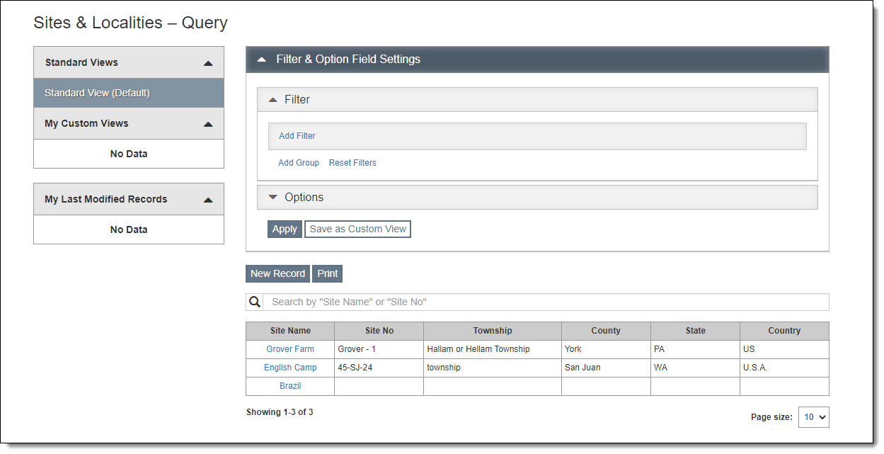
Site records can be accessed by clicking "Sites" on the Main Navigation Bar. The Sites & Localities Query screen will come up, allowing you to filter the list of sites for particular criteria, access individual site records, add new records, and print reports for multiple site records. For more information about query screens, see Collections Query Screens.

Images of the site may be attached using Image Management.
Archaeology Details Accordion
The Archaeology Details Accordion contains fields relevant to archaeological sites. The Project Details section is where you can record the Project Name, Project Type, Project Year, Principal Investigator, and Project Notes. Under Collection Details, available fields include Radio Carbon Dates, Controlling Agency, Electronic Catalog Status, and Rehousing Status. In the Material Details section, there are check boxes for the types of material found at the site.
Associated Catalog Records Accordion
This accordion displays all catalog records associated with this site. These catalog records have this site listed in their Site field. Click the "Object ID" to view a specific catalog record. Click within the Description field of one record to display the whole description.
Attachments & URLs Accordion
The Attachments & URLs Accordion allows you to attach multimedia files to a site record. These files can include audio files, video files, PDFs, Word documents, Excel files, or any other file your computer can open. It is also possible to link to relevant URLs.
Mapping Options Accordion
The Mapping Options Accordion includes fields for Latitude, Longitude, Elevation, Universal Transverse Mercator Values (UTM), and Mapping Details. Click the "View on Map" button to see the Latitude and Longitude positioning on a map.
Custom Accordion
The Custom Accordion displays any custom fields you have set up. For more information about setting up custom fields, see Custom Fields.